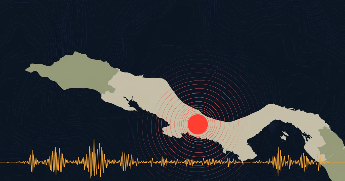
At 8:50 on the morning of Saturday, 8 October 2005, a magnitude 7.6 earthquake struck near Muzaffarabad, in Pakistan-administered Kashmir. It was the first week of Ramadan, and it was a school day.
The government of Pakistan's official count was more than 73,000 dead, with more deaths across the Line of Control in Indian-administered Kashmir. About three and a half million people lost their homes as winter approached in the mountains. Thousands of the dead were children, killed when school buildings collapsed during morning classes.
Twenty-one years later, the most useful question is not what happened that morning. It is what the ground in northern Pakistan has done since, and what that means for the buildings people live and study in now.
Why the 2005 earthquake was so deadly
The earthquake happened where the Indian plate pushes north into Eurasia, the same collision that is still raising the Himalaya. The rupture ran along a fault through Balakot, Muzaffarabad and Bagh, close to the surface and directly under towns and villages.
Three things combined:
- Shallow and close. The fault broke near the surface right beneath populated valleys, so the shaking was violent where people lived.
- Steep slopes. Thousands of landslides blocked roads and buried villages, and kept falling for weeks. Rescue teams could not reach many places for days. Our guide to landslide warning signs explains what a slope does before it fails.
- Buildings that could not take it. Unreinforced masonry and poorly built concrete — including many schools, hospitals and government buildings — collapsed outright. The magnitude was large; the death toll was decided mostly by construction.
What changed afterwards
The disaster reshaped how Pakistan manages risk:
- The Earthquake Reconstruction and Rehabilitation Authority (ERRA) was set up in 2005 to rebuild the affected areas.
- The National Disaster Management Authority (NDMA) and provincial authorities were created in the years that followed, giving Pakistan a standing disaster-management system rather than an improvised one.
- Seismic provisions were added to the Building Code of Pakistan in 2007, and the country's seismic zoning was revised.
The weak point is enforcement. A building code protects only the buildings built to it, and much of the region's housing — old and new — is built informally, without engineering. That is not a problem unique to Pakistan, but it is the main reason a repeat of 2005 would still be dangerous.
How often northern Pakistan shakes now
Our earthquake pages count every earthquake recorded within 300 km of a city over the last 12 months, from the USGS catalogue (magnitude 2.5 and above) and, since August 2026, the European-Mediterranean Seismological Centre and national networks as well. As of early October 2026:
- Muzaffarabad: 66 earthquakes within 300 km in the last 12 months, 58 of them magnitude 4 or above. The largest was a magnitude 5.6, 276 km north of the city, on 19 January 2026.
- Peshawar: 100 in the last 12 months, 96 of them magnitude 4 or above.
- Islamabad: 28, of which 22 were magnitude 4 or above.
- Srinagar: 46, of which 33 were magnitude 4 or above.
Most of these are moderate and many are deep — a large share of the region's earthquakes come from the Hindu Kush, where earthquakes happen 150 to 250 km underground and are felt over a wide area but rarely destroy towns. None of them is a sign that "another 2005 is coming" on a particular date. Earthquakes cannot be predicted to a day, and anyone who claims otherwise is guessing. What the numbers show is that this is an active region where the ground moves every week, and where the next damaging earthquake is a matter of when, not if.
What a household or school can do
- Know the safe spot in each room — under a sturdy table, away from windows and heavy furniture — and practise drop, cover and hold on. Our guide to earthquake myths explains why running outside during the shaking and standing in a doorway are worse choices.
- Fix heavy things down: water tanks on roofs, gas cylinders, tall cupboards and bookcases.
- Ask about your school. Parents are entitled to ask whether a school building was designed for earthquakes and whether the children practise drills. In 2005, the building decided who survived.
- After strong shaking, stay out of damaged buildings. Aftershocks bring down structures that the main earthquake cracked.
- On a slope, watch the hillside for days after a big earthquake. Landslides continue long after the shaking stops.
Was that an earthquake just now?
If you felt shaking, check the last hour near you. For Pakistan, zalzala aaj lists today's earthquakes in Roman Urdu and Urdu, with times in Pakistan time. The full record of past disasters on this date is on our 8 October page.
What our records show, and what they miss
Our earthquake counts come from instrument networks, not news, so they are consistent from day to day. Very small earthquakes that only a national network registers may be missing from the older months, and early magnitudes are often revised in the hours after an event. The method is explained on our about page, and every record is free to reuse from our open data page.
The short version
- On 8 October 2005 a magnitude 7.6 earthquake killed more than 73,000 people in Pakistan, by the government's count, many of them children in collapsed schools.
- It was deadly because it was shallow, under steep, crowded valleys, and because buildings collapsed.
- Pakistan created ERRA, then NDMA, and added seismic provisions to its building code; enforcement is the weak point.
- Northern Pakistan still records dozens of moderate earthquakes a year — 66 within 300 km of Muzaffarabad in the last 12 months.
- No one can predict the date of the next one. Safer buildings, especially schools, are what change the outcome.